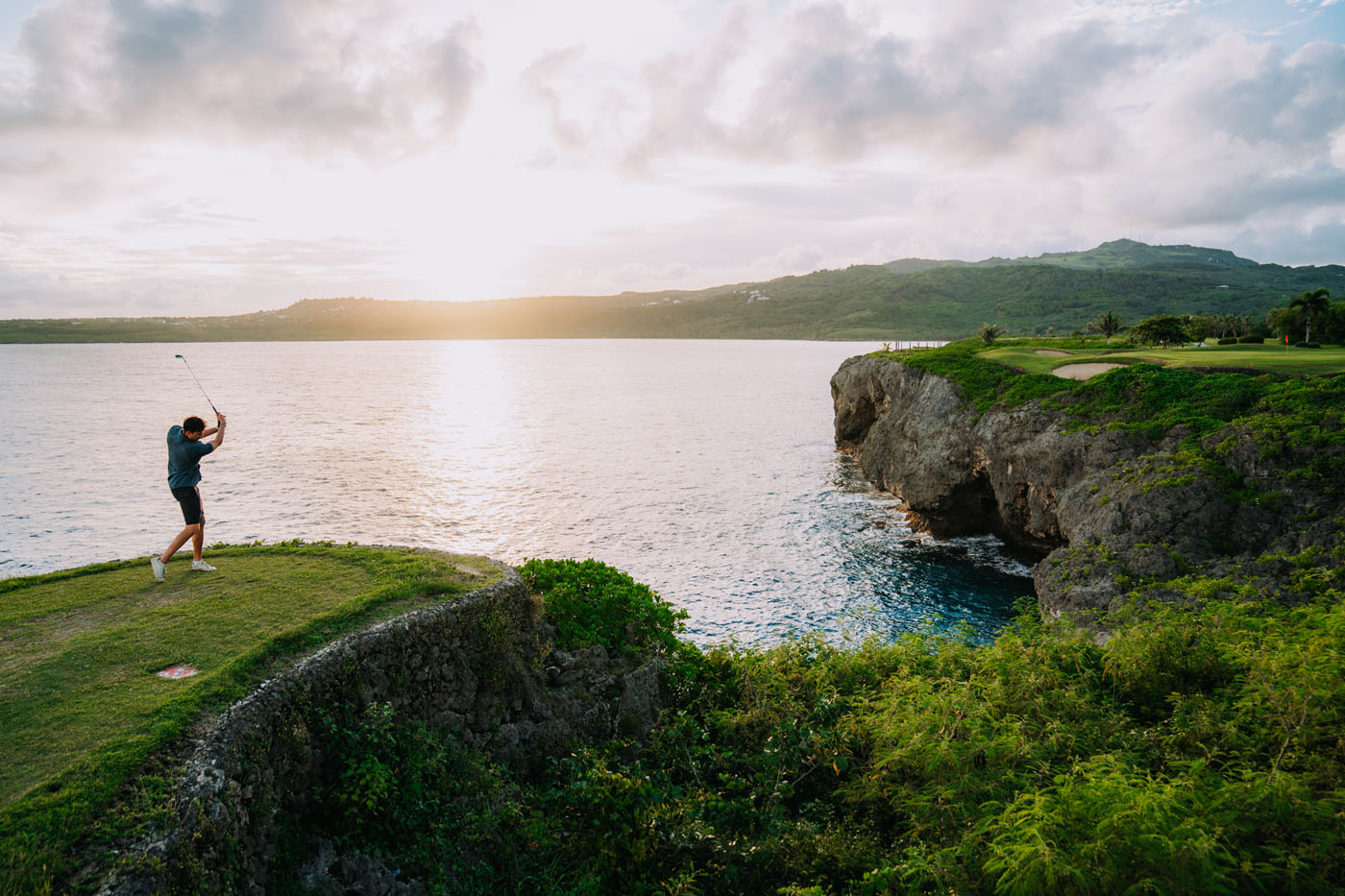
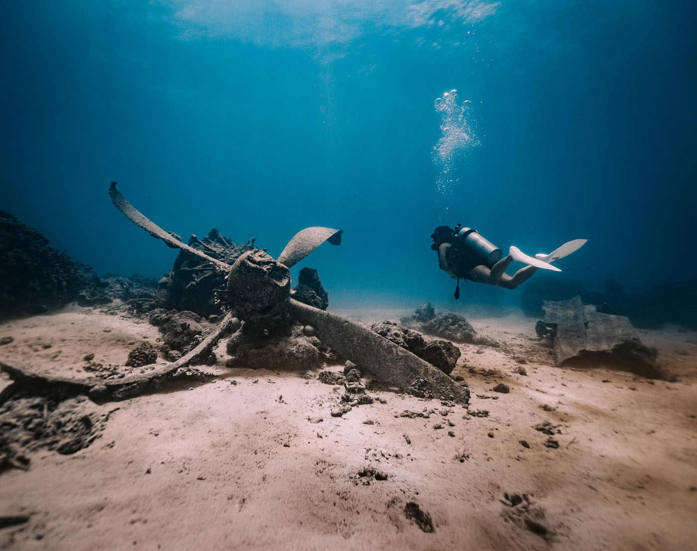
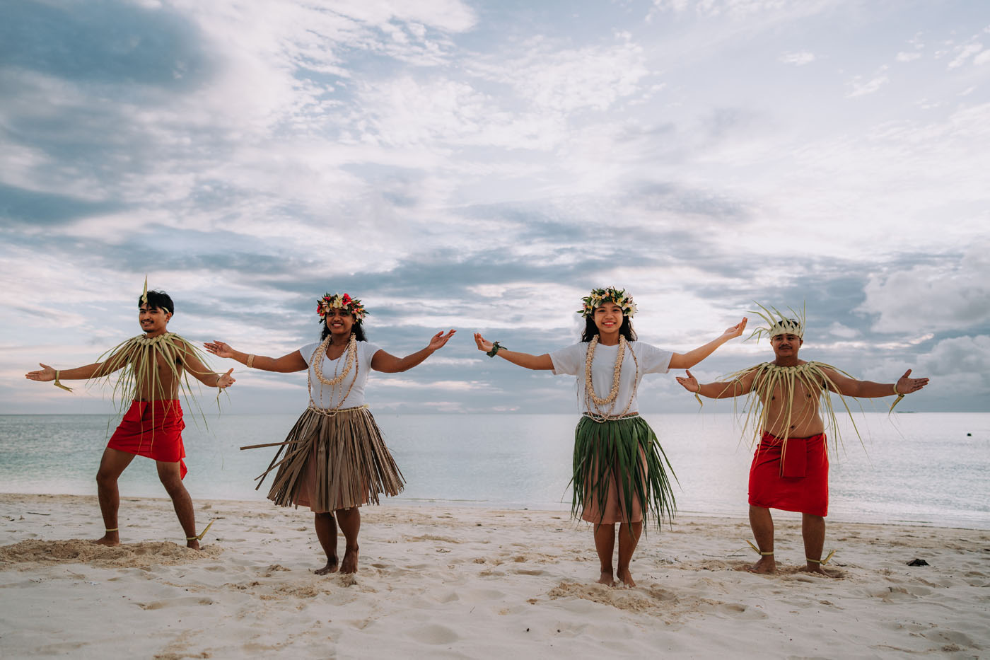
Approximately 315 nautical miles north of Saipan, the island has a land area of one square mile with an active volcano, which keeps its steep slopes smooth by frequent flows of lava and ash. The summit is crowned with white sulfur, and at times dense clouds of yellow smoke and fire emit from the crater. The north, south and west shares are precipitous and bare. The highest point on the island stands at 1,047 feet.
Located approximately 280 nautical miles north of Saipan, the area is comprised of three islands (North, West, and East Islands respectively), which are the remains of a partly submerged volcano that surrounds a deep and spacious harbor. Steep cliffs border the islands. On the north and west islands there are columns resembling tombstones, which crown the ridges, which are outcrops of basaltic veins. The island is uninhabited. The highest peak stands at 746 feet on North Island.
This island is comprised of 2.8 square miles and located about 260 nautical miles north of Saipan. Last active in 1906, this volcano rises steeply as an almost perfect cone. White smoke occasionally emerges from the top and slopes. Lava has streamed down the mountainsides giving it a black surface. Shrubs and a few trees can be seen in some places. A landing beach is situated on the southwest end of this uninhabited island. The highest point on the island is at 2,923 feet.
Situated 206 miles north of Saipan, the volcanic island has an area of 11.4 square miles and was last active in 1917. There are areas of gentle slopes near the shore on the southeast and southwest sides and the crater entrance on the north side. The remaining island consists of steep slopes and deep gorges. The coast is rocky and steep with a landing beach on the southwest coast. The highest point on the island is 3,166 feet.
Pagan, known for its black sand beaches, is located 173 nautical miles north of Saipan and one of the largest and most active volcanoes of The Marianas. Pagan consists of three stratovolcanoes connected by a narrow isthmus (North Pagan, South Pagan, and Mount Pagan). The highest point on the island stands at 1,870 feet.
Most recently, Pagan island has been in debate over the bombing of the island for training purposes by the United States military.
Situated 146 nautical miles north of Saipan, this island has an extinct volcano with a large crater at the summit. The island has a land area of 4.4 square miles. The west side is cut by deep gorges covered with high savanna grass. The southeast side is a steep slope of bare lava. There are deep valleys with caves. Coconut palms grow on the gradual slopes. Warm fresh water springs are located on the northern part of the west coast. The highest point on the island is 2,441 feet.
Located 130 nautical miles north of Saipan, this island has a land area of 1.5 square miles. The northwest wall of the active volcano has collapsed and a new cone has built up above the wall of the old one. There are deep ravines between the two peaks. Smoke and large quantities of sulfur sometimes erupt from the volcano. The coast is bordered by steep basaltic rock with gables of high ridges with deep rain-eroded gorges. At times a lake forms within the crater. The island has a peak of 988 feet.
The island of Anatahan is located 75 miles north of Saipan. The island has an area of 12.5 square miles with a high point of 2,585 feet. Anatahan is a stratovolcano that contains the largest known caldera in the Marianas. The island’s steep slopes are furrowed by deep gorges covered by high grass. The coastline is precipitous with several landing beaches on the northern part and western shore and a small sandy beach on the southwest shore. The wreckage of a World War II B-29 Superfortress lies on the north side edge of the crater’s flatlands.
P.O. Box 500861
Saipan, MP 96950
Tel: 670 664 3200 / 3201
Fax: 670 664 3237